 Virginia Department of Historic Resources Virginia Department of Historic Resources
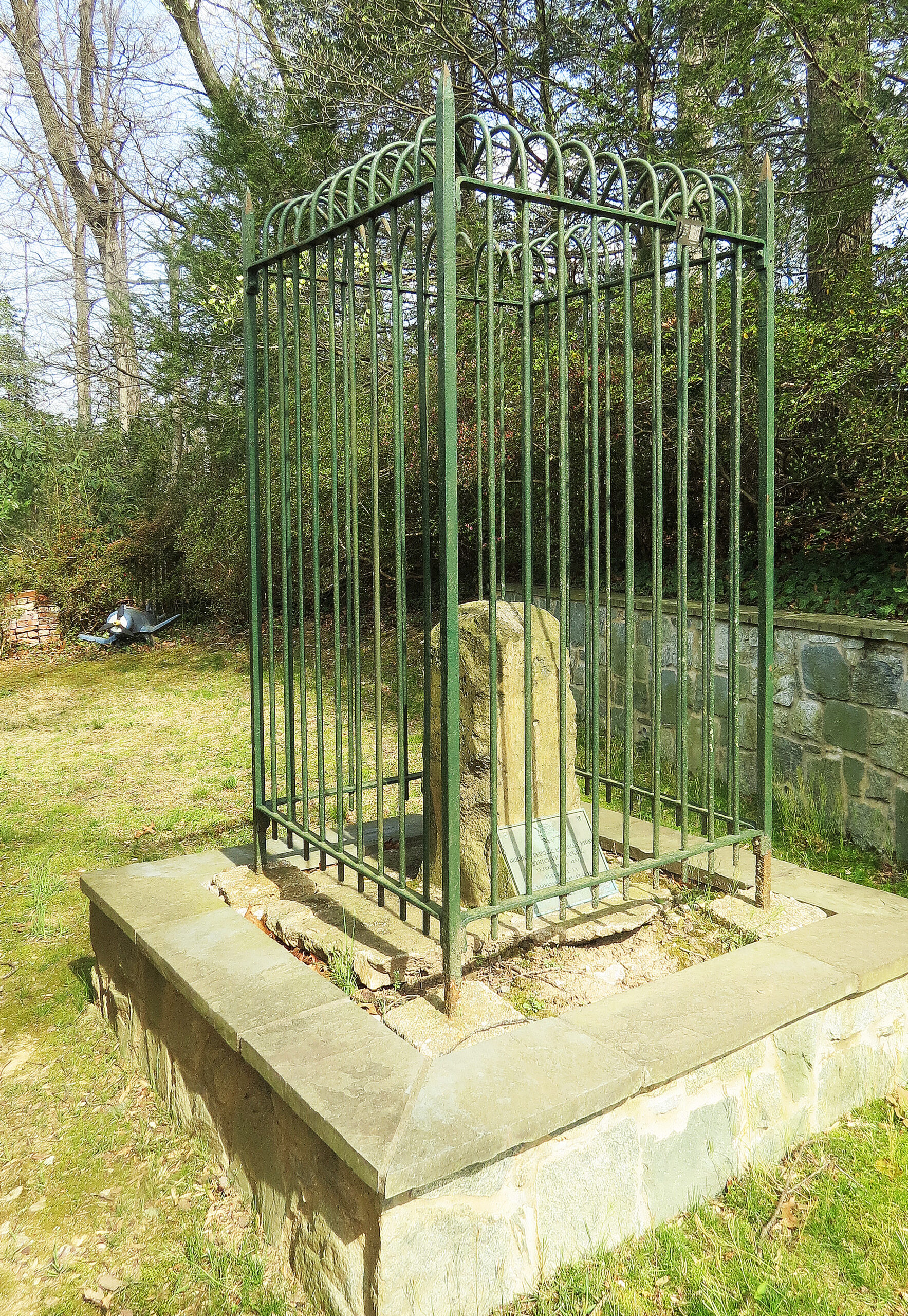
For additional information, read the Nomination Form PDF
VLR Listing Date 08/21/1990
NRHP Listing Date 02/01/1991
NRHP Reference Number 91000005
Located in the backyard of a private residence on North Tazewell Street in Arlington County, the Northwest No. 3 Boundary Marker of the Original District of Columbia is made of Aquia sandstone, and was the final mileage marker set in Virginia. It is said to have been broken off its base by a Union Army Wagon during the Civil War. In 1897 it was found broken off below the ground, with the broken part lying twenty to thirty feet from the base, which was long buried and out of sight. The boundary marker and plaque stand within a wrought iron fence. The Northwest No. 3 Boundary Marker was listed under the Multiple Property Document (MPD) form for the Boundary Markers of the Original District of Columbia.
Many properties listed in the registers are private dwellings and are not open to the public, however many are visible from the public right-of-way. Please be respectful of owner privacy.
Abbreviations:
VLR: Virginia Landmarks Register
NPS: National Park Service
NRHP: National Register of Historic Places
NHL: National Historic Landmark
Updated: April 22, 2023


