 Virginia Department of Historic Resources Virginia Department of Historic Resources
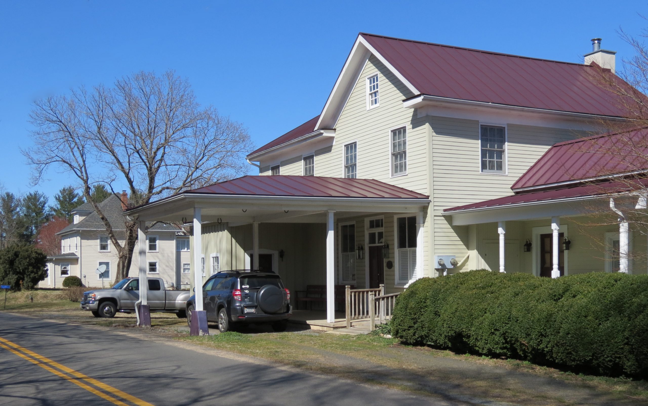
For additional information, read the Nomination Form PDF
VLR Listing Date 12/05/2007
NRHP Listing Date 02/21/2008
NRHP Reference Number 08000070
Nestled just east of Chester Gap, which cuts through the Blue Ridge Mountains south of Front Royal, the Hume Historic District is a well-preserved and intact crossroads village located northwest of Warrenton in Fauquier County. Dating to the late 18th century, Hume was first known as “Barbee’s Crossroads,” then simply “Barbees” for Joseph Barbee who, in the 18th century, leased the land on which Hume is located. Barbees changed to Hume in the late 19th century, so named for the Hume family who lived in the area. Buildings still standing within the district include the circa-1787 Barbee’s Tavern, the former Leeds Church Rectory, Captain Marshall’s Store, and several dwellings dating to as early as 1820. Hume’s surviving commercial buildings reflect the town’s traditional role in serving residents of the agricultural area, while the residential buildings retain a remarkable amount of intactness. Other buildings include a public school for whites that dates to 1875 and two school buildings for African Americans, the oldest of which was constructed circa 1906.
Many properties listed in the registers are private dwellings and are not open to the public, however many are visible from the public right-of-way. Please be respectful of owner privacy.
Abbreviations:
VLR: Virginia Landmarks Register
NPS: National Park Service
NRHP: National Register of Historic Places
NHL: National Historic Landmark
Updated: April 13, 2021


