 Virginia Department of Historic Resources Virginia Department of Historic Resources
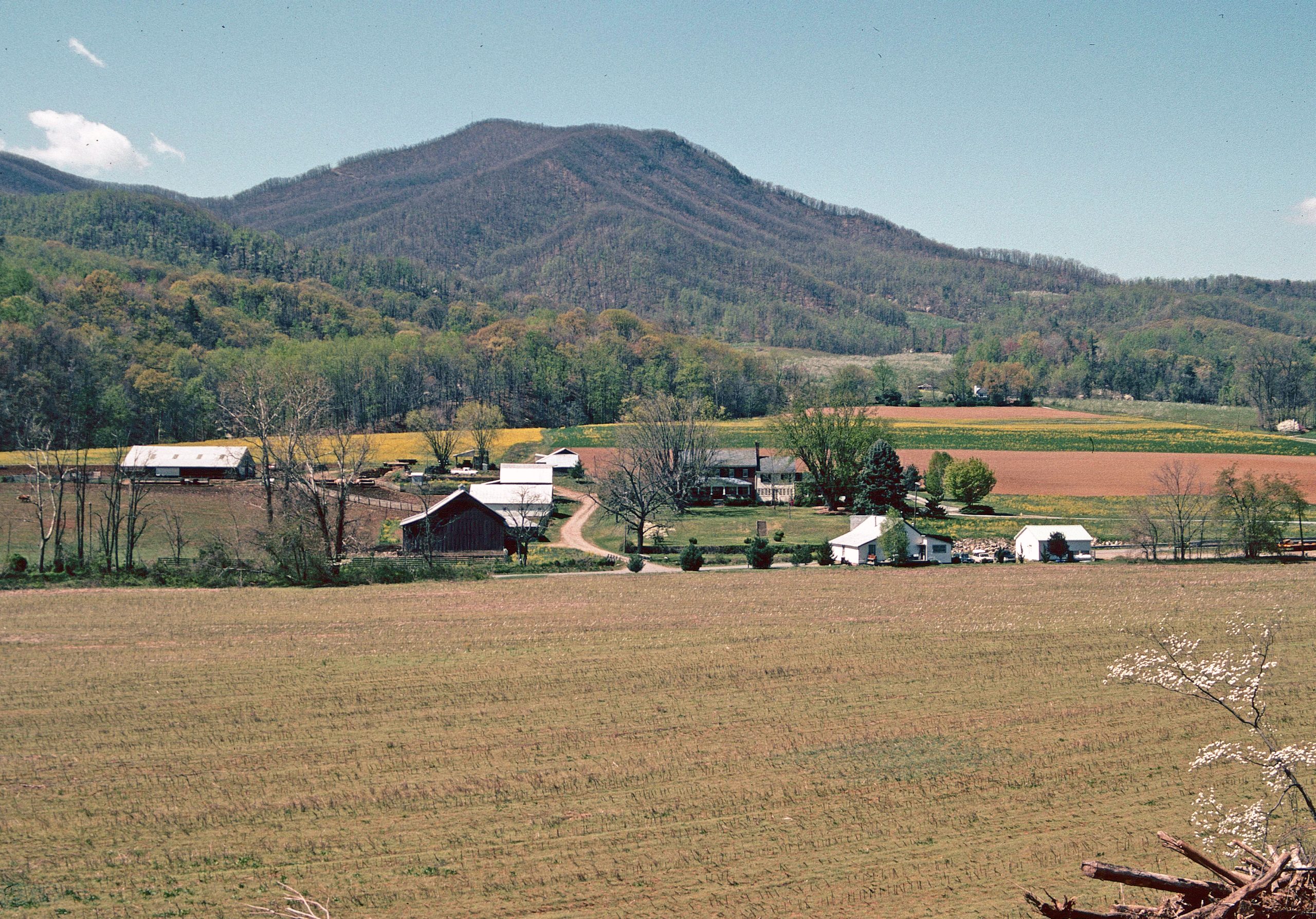
For additional information, read the Nomination Form PDF
VLR Listing Date 03/20/1996
NRHP Listing Date 06/07/1996
NRHP Reference Number 96000593
Skirted by U. S. Route 220, which follows the trace of the 18th-century Carolina Road, this 1450-acre rural historic district in the Boone’s Mill vicinity of Franklin County preserves a scene that would still be familiar to the thousands of settlers who passed by on wagon and foot on their migration to western North Carolina. The scenic valley at the approaches to Maggodee Gap is dominated by Cahas Mountain, Franklin County’s highest peak. Since the early 1800s, the Cahas Mountain Rural Historic District has been home to the Boone and Taylor families who in addition to building substantial brick dwellings constructed a log dwelling with a rare log purlin roof. The principal landmarks today are the 1820 John and Susan Boon House, a large Federal brick dwelling, and the similar Taylor-Price House. These and numerous later structures are part of the rich architectural legacy of the area’s long-standing farming tradition.
Many properties listed in the registers are private dwellings and are not open to the public, however many are visible from the public right-of-way. Please be respectful of owner privacy.
Abbreviations:
VLR: Virginia Landmarks Register
NPS: National Park Service
NRHP: National Register of Historic Places
NHL: National Historic Landmark
Updated: September 21, 2021


