 Virginia Department of Historic Resources Virginia Department of Historic Resources
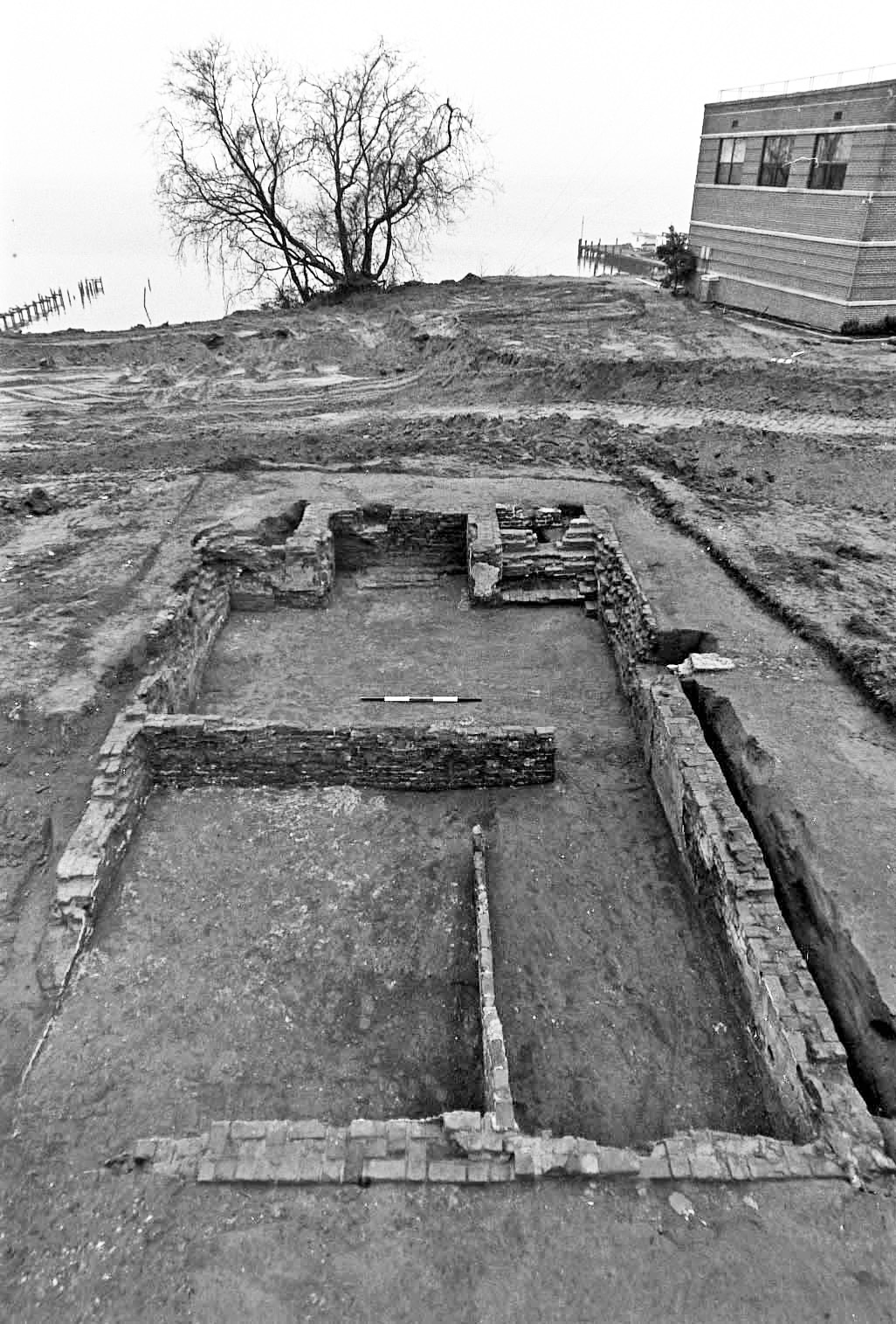
For additional information, read the Nomination Form PDF
VLR Listing Date 04/21/1987
NRHP Listing Date 06/10/1985
NRHP Reference Number 85001251
Occupying a triangular promontory extending southward into the York River, this archaeologically rich area contains a concentration of well-preserved sites spanning 300 years of Virginia history. From the beginning of the 17th century until the end of the Civil War, Gloucester Point was the focal point of concurrent commercial, domestic, and military activity. Evidence for three forts have been uncovered: a 1667 palisaded fort for protection from the Dutch, a 1781 Revolutionary War gun battery constructed by Lord Cornwallis’s forces, and a Civil War fort, occupied at separate times in 1862 by both Union and Confederate forces. Associated with the Cornwallis fortification are the sites of a British military hospital and graveyard. Archaeologists have linked the remains of at least five domestic buildings to the Gloucester Town plat of 1707. Further research of sealed layers within the district could yield important data on colonial history.
Many properties listed in the registers are private dwellings and are not open to the public, however many are visible from the public right-of-way. Please be respectful of owner privacy.
Abbreviations:
VLR: Virginia Landmarks Register
NPS: National Park Service
NRHP: National Register of Historic Places
NHL: National Historic Landmark
Updated: July 29, 2021


