 Virginia Department of Historic Resources Virginia Department of Historic Resources
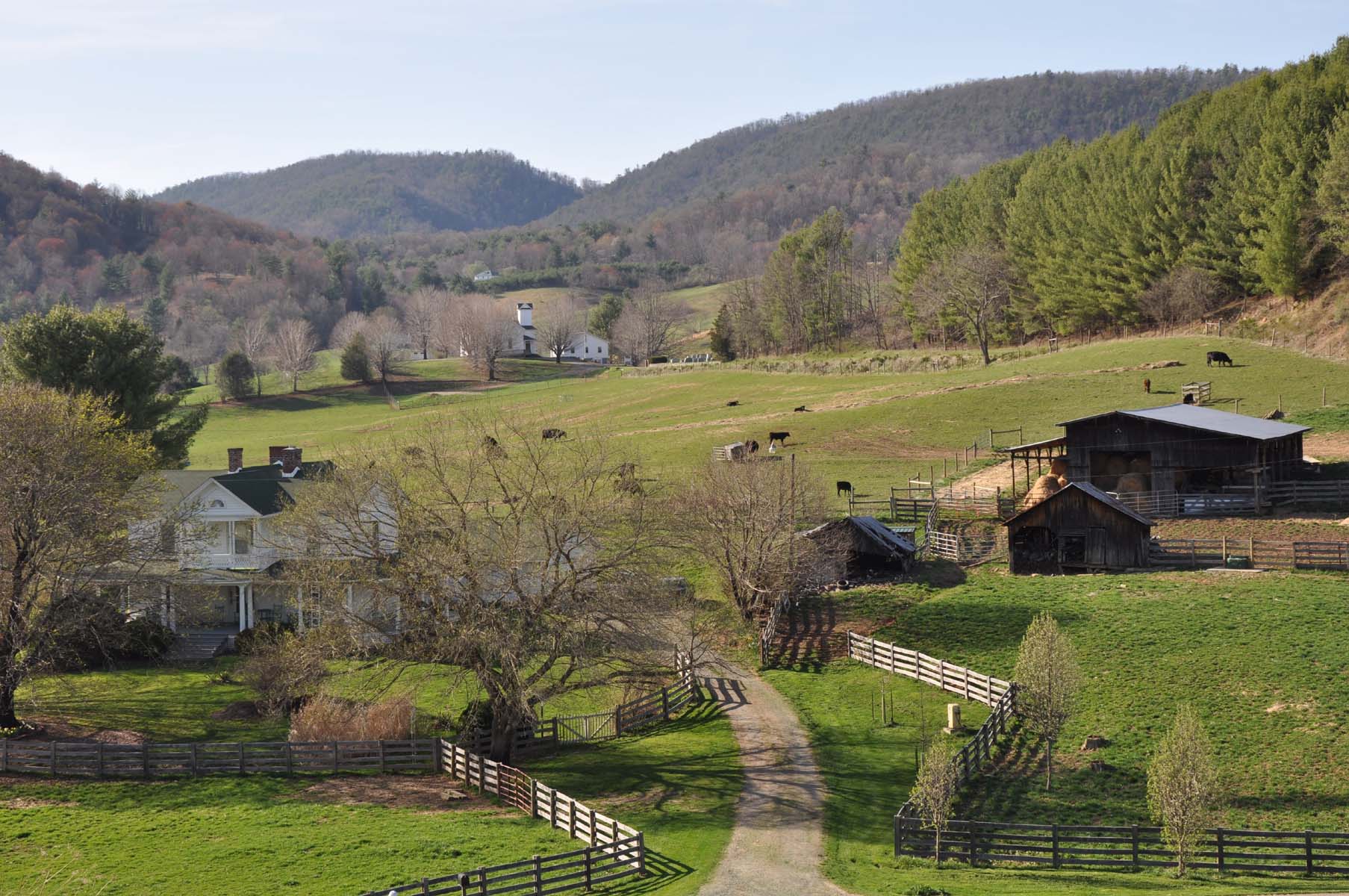
For additional information, read the Nomination Form PDF
VLR Listing Date 12/16/2010
NRHP Listing Date 03/01/2011
NRHP Reference Number 11000062
The Spring Valley Rural Historic District comprises approximately 4,220 acres in northeast Grayson County. The district was settled by European Americans beginning in the latter 18th century with the arrival of the Bourne, Hale, and Vaughan families. By 1800, log and timber frame houses with various agricultural outbuildings were built along the valley floor and terraces of the surrounding hillsides. By 1880, two general stores, a post office, a school, and a church and cemetery, supplemented by grist- and sawmills, blacksmiths, tanners, and carpenters, were established in the core of Spring Valley, originally called Knob Fork. The arrival of the railroad in Fries six miles to the east, in 1903, solidified the community through the mid-20th century. With original land grants intact and few modern intrusions, the picturesque valley illustrates the evolution of farming and commercial agricultural practices in this remote corner of southwestern Virginia.
Many properties listed in the registers are private dwellings and are not open to the public, however many are visible from the public right-of-way. Please be respectful of owner privacy.
Abbreviations:
VLR: Virginia Landmarks Register
NPS: National Park Service
NRHP: National Register of Historic Places
NHL: National Historic Landmark
Updated: October 25, 2021


