 Virginia Department of Historic Resources Virginia Department of Historic Resources
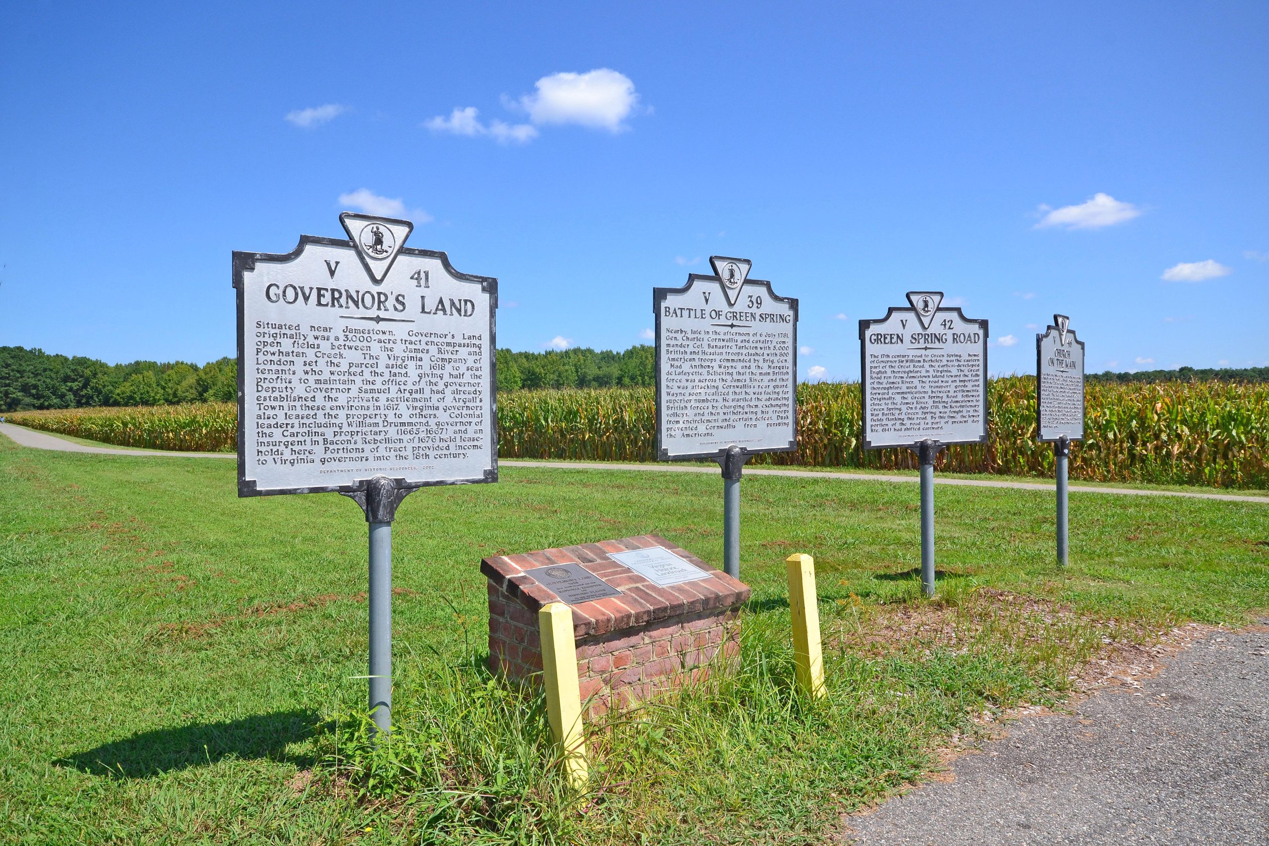
For additional information, read the Nomination Form PDF
VLR Listing Date 07/17/1973
NRHP Listing Date 09/21/1973
NRHP Reference Number 73002025
The Virginia Company of London instructions to incoming Governor Sir George Yeardley specified that 3,000 acres immediately upstream from Jamestown Island be set aside for the use of the incumbent governor and his successors. As a subsidiary community of Jamestown, the capital city, this land was one of the nation’s first suburbs. The Governor’s Land included Argall’s Town, a small settlement established in 1617 and occupied continuously throughout the colonial period. Some twenty 17th-century sites were identified through an extensive survey conducted by the Virginia Department of Historic Resources in the 1970s. Excavations revealed many significant artifacts, shedding new light upon Virginia’s material culture during the first decades of settlement. The artifacts include pieces of English armor as well as an unusual 17th-century three-bowled tobacco pipe.
Many properties listed in the registers are private dwellings and are not open to the public, however many are visible from the public right-of-way. Please be respectful of owner privacy.
Abbreviations:
VLR: Virginia Landmarks Register
NPS: National Park Service
NRHP: National Register of Historic Places
NHL: National Historic Landmark
Updated: August 30, 2022


