 Virginia Department of Historic Resources Virginia Department of Historic Resources
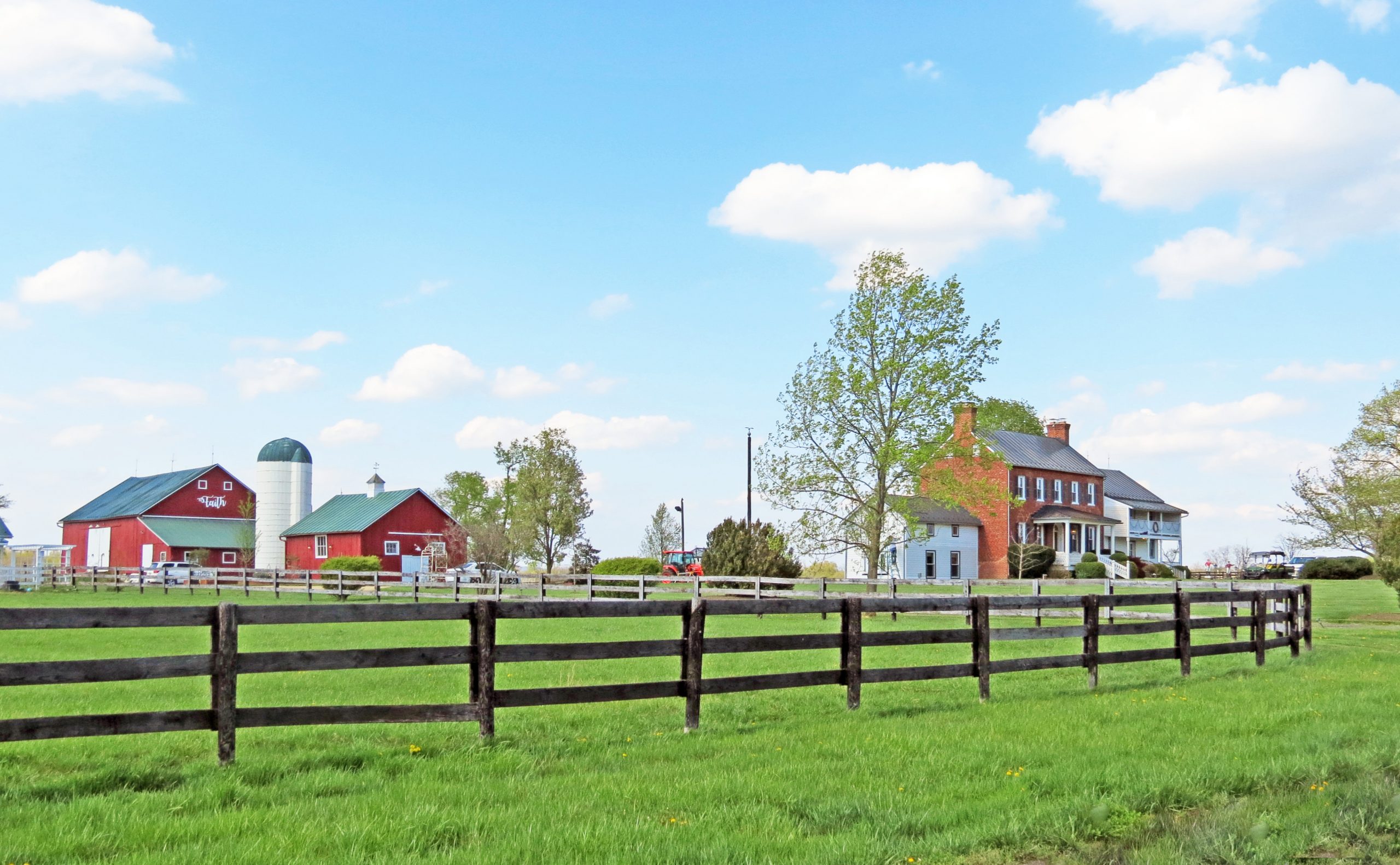
For additional information, read the Nomination Form PDF
VLR Listing Date 12/13/1988
NRHP Reference Number 89000161
Extending from the outskirts of Leesburg north to the Potomac River, along historic Route 15, with Catoctin Mountain forming its western border, the 25,000-acre Catoctin Rural Historic District is a varied pastoral landscape of forested hillsides, undulating pastures, and winding roads. Scattered through its farmland is a broad range of 18th-, 19th-, and early-20th-century rural architecture. The district includes several large estates with grand houses such as Selma, Rockland, and Morven Park, but is also sprinkled with vernacular farmhouses and farm buildings. Small crossroad settlements contain schools, churches, and commercial structures. From its earliest settlement by Tidewater planters through the establishment of large dairy farms and grazing farms in this century, the fertile area has been important to Loudoun County’s agricultural economy. The district also preserves four historic ferry crossings, including the National Register-listed Clapham’s Ferry, and the site of the Civil War engagement at Ball’s Bluff. Though still possessing a strongly agrarian character, the district is threatened with suburban development.
[VLR Listed Only; Federal Determination of Eligibility: 3/20/1989]
Many properties listed in the registers are private dwellings and are not open to the public, however many are visible from the public right-of-way. Please be respectful of owner privacy.
Abbreviations:
VLR: Virginia Landmarks Register
NPS: National Park Service
NRHP: National Register of Historic Places
NHL: National Historic Landmark
Updated: April 19, 2021


