 Virginia Department of Historic Resources Virginia Department of Historic Resources
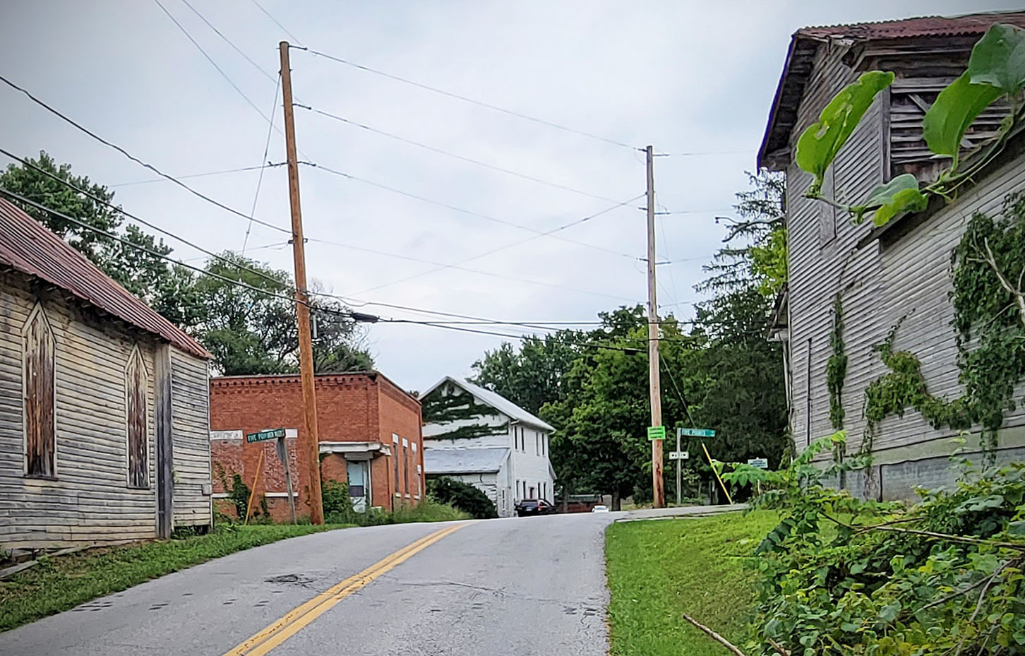
For additional information, read the Nomination Form PDF
VLR Listing Date 06/20/1989
NRHP Listing Date 01/10/1991
NRHP Reference Number 90002006
The Montgomery County hamlet of Riner began prior to the Civil War as a spontaneous, unplanned crossroads settlement serving the surrounding farming community. First known as Five Forks for its situation at the junction of five roads, Riner offered mercantile, religious, and milling services to the neighboring folk. Riner thrived following the mid-1850s construction of the Christiansburg and Floyd Turnpike through the village. By the 1870s it boasted a store, meetinghouse, school, lumberyard, tanyard, hotel, shoe factory, barrel factory, blacksmith shop, and tobacco factory. Since bypassed by progress, the Riner Historic District today is a somnolent relic of a bygone era. The heart of the historic area is marked by buildings either empty or no longer serving their original function, among them the 1908 Methodist Episcopal Church, the 1913 former Bank of Riner; the mid-19th-century Jonathan Hall house-store, and the ca. 1910 Surface Mill.
The Riner Historic District was listed in the registers under the Prehistoric and Historic Resources of Montgomery County MPD.
Many properties listed in the registers are private dwellings and are not open to the public, however many are visible from the public right-of-way. Please be respectful of owner privacy.
Abbreviations:
VLR: Virginia Landmarks Register
NPS: National Park Service
NRHP: National Register of Historic Places
NHL: National Historic Landmark
Updated: July 28, 2022


