 Virginia Department of Historic Resources Virginia Department of Historic Resources
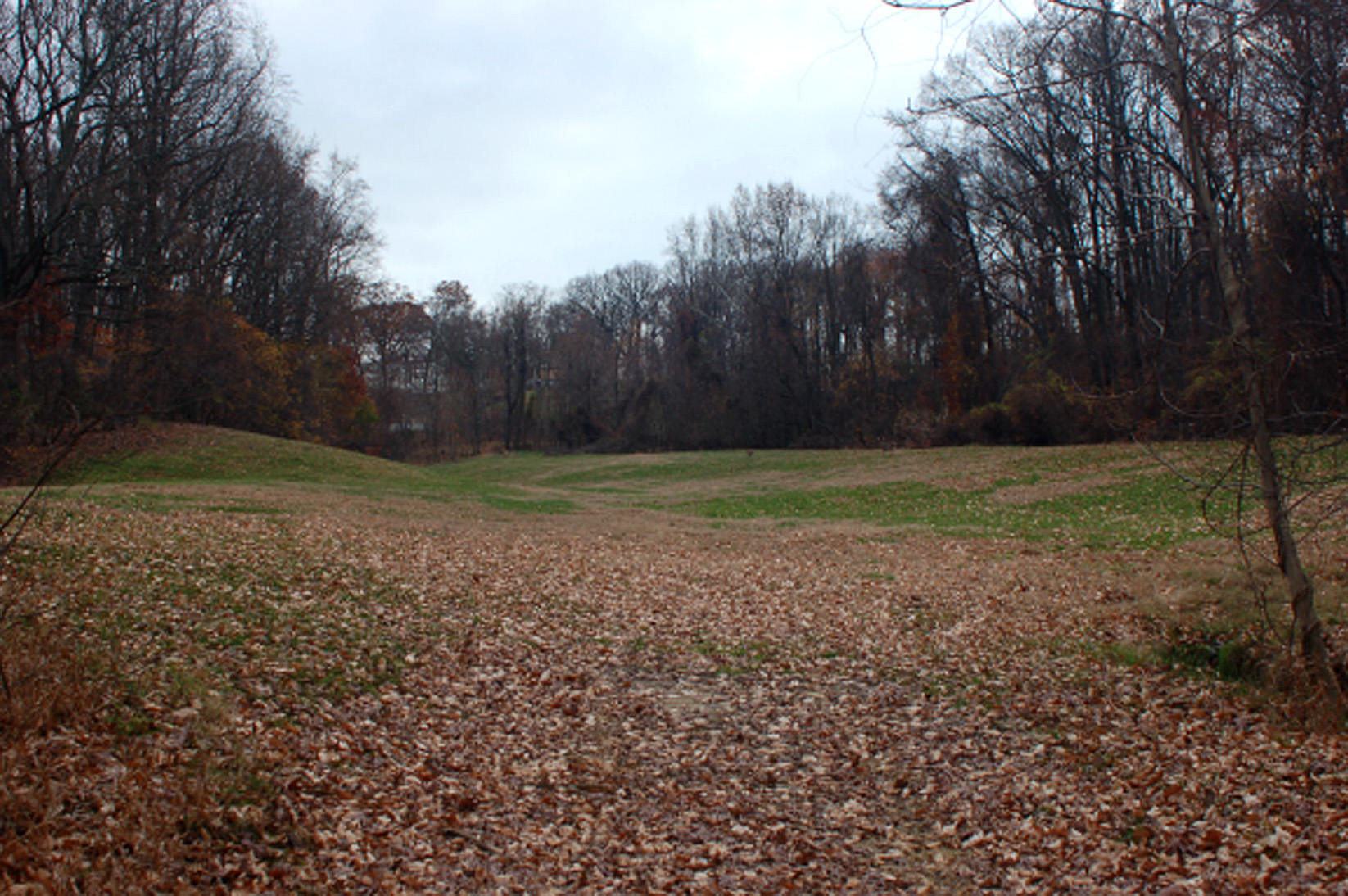
For additional information, read the Nomination Form PDF
VLR Listing Date 06/19/2008
NRHP Listing Date 11/12/2008
NRHP Reference Number 64501024
The Properties Associated with Campaigns for the Control of Navigation on the Lower Potomac River, 1861-1862; Virginia, Maryland, and the District of Columbia Multiple Property Submission (MPD) Form facilitates the nomination to the registers of properties associated with campaigns for control of navigation on the lower Potomac River, 1861-1862 in Virginia, Maryland, and the District of Columbia. Confederate forces constructed batteries along the Virginia shore of the Potomac from Mathias Point to Freestone Point in the summer and fall of 1861. When these batteries became active in October 1861, they achieved a blockade of maritime transport to the nation’s capital. This strategic action would have a pronounced influence on Union strategy and command, changing the course of the American Civil War.
Many properties listed in the registers are private dwellings and are not open to the public, however many are visible from the public right-of-way. Please be respectful of owner privacy.
Abbreviations:
VLR: Virginia Landmarks Register
NPS: National Park Service
NRHP: National Register of Historic Places
NHL: National Historic Landmark
Updated: September 22, 2022


