 Virginia Department of Historic Resources Virginia Department of Historic Resources
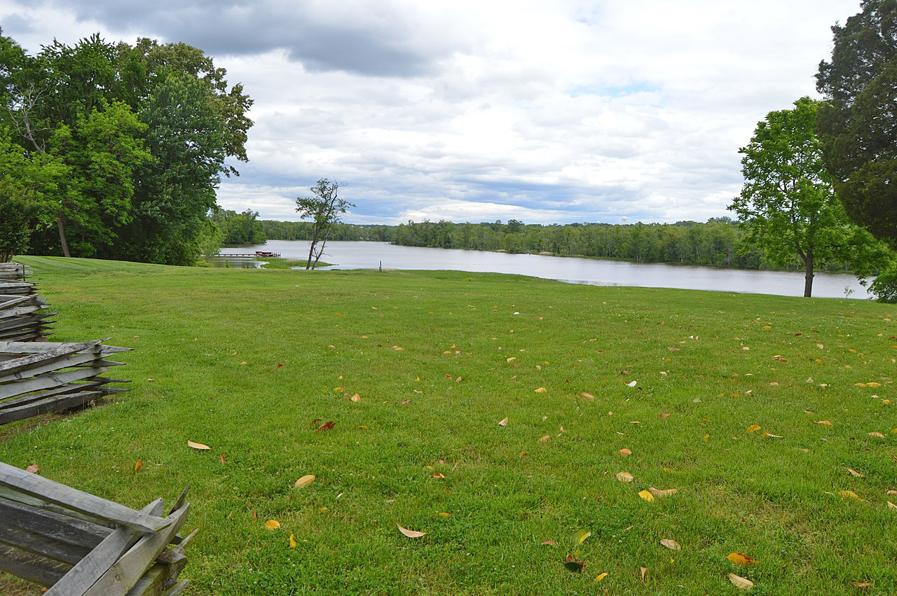
For additional information, read the Nomination Form PDF
VLR Listing Date 12/12/1989
NRHP Listing Date 10/25/1990
NRHP Reference Number 90001139
Situated on the west bank of the Appomattox River within the city limits of Colonial Heights, on what was formerly a plantation known as Conjurer’s Neck, this site contains deposits relating to an Indian village of the Middle and Late Woodland periods (500 B.C.—A.D. 1600). Excavations conducted in 1966 and 1967 revealed well-preserved cultural features such as refuse-filled pits and human burials. The diverse mixture of Indian ceramic fragments at the Conjurer’s Field Archeological Site could provide valuable data for studies on cultural interactions between peoples living in the Piedmont, on the coastal plain, and along the fall line.
Many properties listed in the registers are private dwellings and are not open to the public, however many are visible from the public right-of-way. Please be respectful of owner privacy.
Abbreviations:
VLR: Virginia Landmarks Register
NPS: National Park Service
NRHP: National Register of Historic Places
NHL: National Historic Landmark
Updated: September 21, 2021


