 Virginia Department of Historic Resources Virginia Department of Historic Resources
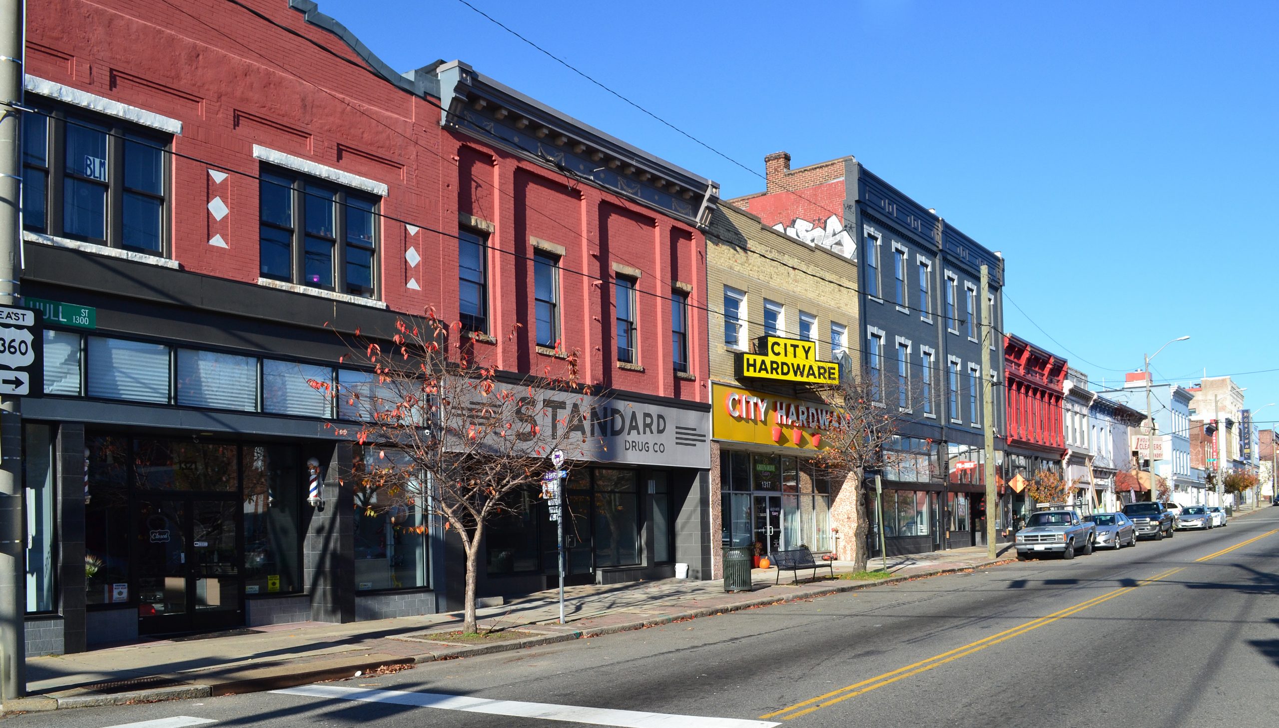
For additional information, read the Nomination Form PDF
VLR Listing Date 10/10/2018
NRHP Listing Date 12/20/2018
NRHP Reference Number BC100003308
The Manchester Residential and Commercial Historic District was listed in the Virginia Landmarks Register in 2002 with a period of significance 1797-1950. In 2006, the district’s boundaries were expanded to include 12 residential properties along McDonough, 12th, and 13th streets. In 2018, the full extent of the district’s boundaries were examined and four discrete areas identified to justify expansion of the district’s boundaries. Three of the four areas are located along the Cowardin Avenue/ Jefferson Davis Highway/ U.S. Route 1 road corridor and Section 3 also includes the historic Atlantic Coast Line Railroad corridor. The 4th expansion area takes in a single industrial resource immediately adjacent to the existing district in a mixed commercial and residential area between Hull and Decatur streets. These areas and the buildings within them are associated with the existing district’s significant development patterns and architecture. The period of significance for the boundary increase areas is ca. 1900-1965, beginning with construction of the earliest contributing resource and ending with the construction of the last major light industrial resource along the historic Jefferson Davis Highway corridor.
Many properties listed in the registers are private dwellings and are not open to the public, however many are visible from the public right-of-way. Please be respectful of owner privacy.
Abbreviations:
VLR: Virginia Landmarks Register
NPS: National Park Service
NRHP: National Register of Historic Places
NHL: National Historic Landmark
Updated: May 19, 2021


