 Virginia Department of Historic Resources Virginia Department of Historic Resources
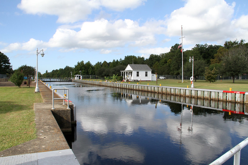
For additional information, read the Nomination Form PDF
VLR Listing Date 02/16/1988
NRHP Listing Date 06/06/1988
NRHP Reference Number 64500355
This Multiple Property Documentation (MPD) Form facilitates the nomination to the registers of resources associated with the Dismal Swamp Canal, a 22-mile land cut between Deep Creek in Chesapeake, Virginia, and South Mills in Camden County, North Carolina. Its origin was a charter in 1787 by the Virginia General Assembly, ratified by North Carolina in 1790. The private Dismal Swamp Canal Company began construction in 1793 at both ends of the proposed cut to connect the Southern Branch of the Elizabeth River near Norfolk, Virginia, with the Pasquotank River in Camden County, North Carolina, which provides access to numerous sounds, bays, and rivers in that state. The through cut came in 1805. Adjacent to the Dismal Swamp Canal, on its east side, was constructed a toll road, made largely of material dug from the canal. It was opened in 1804.
Many properties listed in the registers are private dwellings and are not open to the public, however many are visible from the public right-of-way. Please be respectful of owner privacy.
Abbreviations:
VLR: Virginia Landmarks Register
NPS: National Park Service
NRHP: National Register of Historic Places
NHL: National Historic Landmark
Updated: December 17, 2022


